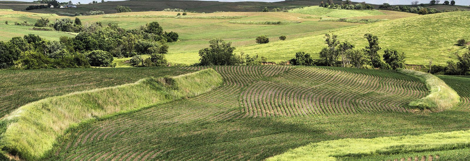
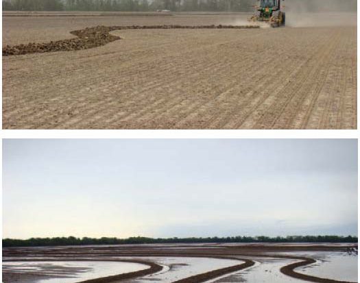
Sometimes it is the simple things that can make a big difference. Take contouring, for example. It’s easy; so easy in fact that we often overlook it when we consider it in the context of conservation technology. I staked a lot of contour lines for farmers when I was a NRCS Soil Conservationist in the 1980’s. It was easy; just me, my hand level, and a fist full of flags. But it was also time consuming. It took hours to stake 160 acres of cropland, especially when I tried to minimize point rows. Today, my local conservation district no longer …
Exciting possibilities ahead using 3D Machine Control
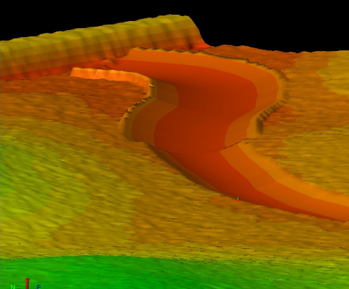
What good is Precision Conservation if it doesn’t help us apply conservation better and faster? We should expect that a part of Precision Conservation should simplify and automate the routine and the mundane, so the professional conservationists can engage in meaningful conservation planning. My new favorite Precision Conservation topic is fully automated 3D machine control. This will be one of the game changers we have been looking for, if private businesses and government entities can work together. Recently, I worked with Ryan Murguia of …
RTK vs. LiDAR – or – RTK & LiDAR
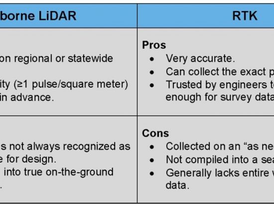
One of the most important data layers in Precision Conservation is the elevation layer, or topographic layer. But, there is one big question that needs to be answered. What is the best data source for Precision Conservation; LiDAR or RTK? The world of elevation data is changing so quickly it is hard to keep up. But even with all of the options the two most common types of elevation data, for conservation planning, are airborne LiDAR and RTK. Given that, which should we choose?On one hand, we have airborne LiDAR data that is collected on a …


